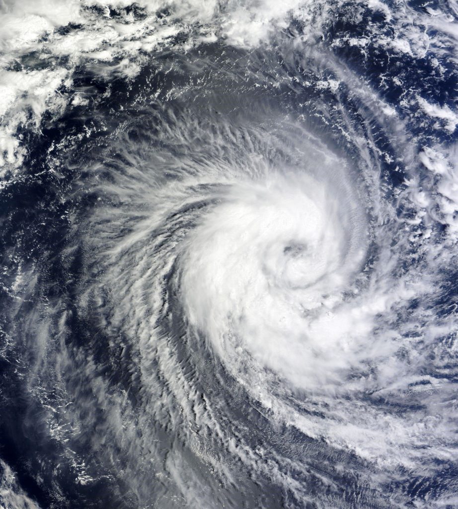
Hurricane season 2022 is not supposed to be a quiet one.
With hurricane season a week away, the National Oceanic and Atmospheric Administration is predicting a seventh year in a row of above-average storm activity – another worrying sign for south Louisiana as it recovers from recent devastation. In its prediction unveiled Tuesday, NOAA forecasted a 65% chance for an above-average season. Its forecast includes 14-21 named storms, 6-10 hurricanes and 3-6 major hurricanes of Category 3 or greater. Hurricane season begins June 1 and ends November 30. “It’s crucial to remember that it only takes one storm to damage your home, neighborhood and community,” NOAA Administrator Rick Spinrad said. “Now is the time to get ready for the upcoming hurricane season.”
nola.com
Climate change and La Nina are the two major effects making this another big one.
Climate change was just one of the factors named for the consistently high hurricane activity seen in recent years. High sea temperatures increase the probability for tropical storms to form. This will also be a rare third year of La Niña conditions, which essentially means fewer winds to shear through tropical storms in the Atlantic and limit their development. Another concern this hurricane season, especially for those living near the Gulf of Mexico, is the loop current. This large pocket of deep warm water that circulates around the Gulf is near the same spot it was during 2005, when Hurricane Katrina hit south Louisiana. When hurricanes move over deep wells of warm water, they can undergo rapid intensification, historically jumping at least one category in strength. However, NOAA hurricane season lead forecaster Matthew Rosencrans says it’s still too early to know how big of a factor the loop current could play. The loop current can shift throughout the season. “The loop current does look like 2005,” he said. “But, it depends on if a storm actually moves over the loop current.”
Another factor is that we are still being effected by the last two years. Especially the Lake Charles region but I am seeing some roofs in my neighborhood being fixed now.
This season arrives with parts of south Louisiana still reeling from recent storm damage. In 2020, Hurricane Laura tore through the state’s southwest, leaving behind an estimated $17.5 billion in damage in the state. Hurricane Ida followed last year in the state’s southeast, causing $55 billion in estimated statewide damage. More than 9,000 households are living in post-storm trailers or mobile homes provided by FEMA or the state throughout both regions. Both Laura and Ida were Category 4 storms with 150-mph winds – two of the most powerful hurricanes to ever make landfall in the state. Casey Tingle, head of the Governor’s Office of Homeland Security and Emergency Preparedness, has said the recent destruction complicates the state’s preparation efforts, particularly since so many residents are living out of fragile temporary housing. Tingle’s office advises residents to have a plan prepared as well as at least three days’ worth of supplies. Advice can be found at the state’s getagameplan.org website.
Last year was the third most active season and this year is supposed to be above average.
Last year was the third most-active season with 21 named storms, behind the 2020 and 2005 seasons. While this hurricane season is expected to see above-average activity, NOAA hopes to use its new forecast systems to reduce the cone of uncertainty for individual storms, which predicts where a hurricane could travel. “Our improved track forecast has allowed us to more accurately pinpoint the areas most at risk, which reduces the size of areas that may need to evacuate when a hurricane threatens,” Spinrad said. As for the overall season’s predictions, Rosencrans said at the press conference that the agency “uses a range rather than specific numbers to account for some of the uncertainties in making these forecasts.”
In other words, stand by to stand by as we look at every one and hope the track moves either east of west if we are in the cross hairs.
