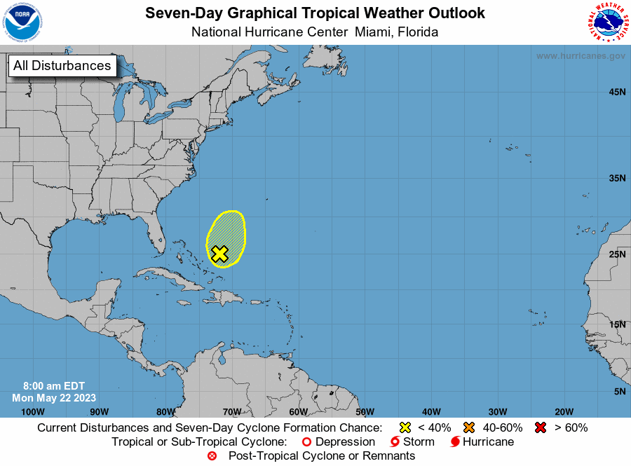
NOAA is tracking a disturbance near the Bahamas.
Hurricane forecasters on Monday were tracking a disturbance in the Atlantic that has little chance of development, according to National Hurricane Center forecasters. As of 8 a.m., the area of low pressure a couple hundred miles northeast of the Bahamas was producing rain showers and thunderstorms and remained poorly organized. The disturbance has a 10% chance of developing into a tropical depression within the next week, forecasters said. Strong upper-level winds and dry air are expected to prevent development while the system moves north and northeastward over the southwestern Atlantic, according to the National Hurricane Center. The shaded area on the graphic is where a storm could develop and is not a track. The National Hurricane Center releases a track when a tropical depression forms or is about to form. The categories, in order of increasing strength, are tropical depression, tropical storm and hurricane (categories 1 through 5). No other systems are expected to develop within 48 hours in the Gulf of Mexico, Caribbean or Atlantic, forecasters said. The return of El Niño could bring a wetter second half of the year to Louisiana and a reduced risk of hurricanes.
The season starts on 1 June but they are starting to look 15 May.
