Chemical plants were studied for their potential flooding. In another Advocate article there is a pictoral description of this topic.
Louisiana is threatened by an increasing number of severe storms and is also home to a vast number of industrial sites housing toxic chemicals. To explore these threats, The Times-Picayune and The Advocate analyzed the risk of flooding at chemical facilities across the state. The analysis, using projections from First Street Foundation, a non-profit that often helps the federal government to assess risks, provides a new level of detail. The analysis found a quarter of the state’s population lives within a mile of a chemical site that is at risk of 25 centimeters — about 10 inches — of flooding or more from a so-called 100-year storm. Poor and minority communities are particularly vulnerable: More than a third of Black Louisianans live near an at-risk facility, while low-income residents are more than twice as likely to live in those areas as wealthy households.
nola.com
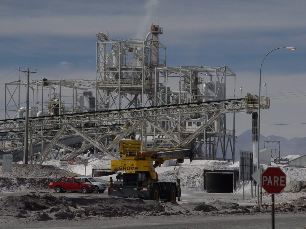
851 sites in the state, yes 851!
To conduct this analysis, the paper first compiled a list of the 851 sites in Louisiana that are part of the U.S. Environmental Protection Agency’s Toxics Release Inventory, which covers facilities that handle large amounts of harmful chemicals. TRI sites in Louisiana range from small ship maintenance operations to 2-mile-wide refinery complexes. Data on the location of those sites was then shared with the First Street Foundation, which developed a comprehensive model to quantify the risk of flooding across the U.S. That model can project risks on a granular level, taking into a broad range of factors including storm surge, rainfall, flood protection measures such as levees, and the impacts of climate change. The First Street model is regarded as one of the most detailed and reliable ways of assessing and predicting such risks. It is used by the EPA and other federal agencies, the real estate industry and researchers looking into the risks of natural disasters. In 2020, First Street found nearly 6 million more properties in the U.S. were at a more substantial risk of flooding than what maps created by the Federal Emergency Management Agency suggested.
The maximum and minimum values were found.
First Street determined the maximum and median flooding expected in a 100-year storm — one that has 1% chance of occurring each year — within a quarter-mile radius of each TRI site. That radius was used because many facilities can encompass a large area. Those projections were then used to categorize each site based on the level of flooding it could experience. The scale ranges from “minimal” risk of flooding, where no flooding would be expected, to “extreme,” where areas could expect more than 2.5 feet of floodwaters. More than 87% of those sites were in areas considered to be at risk of what the organization defines as “major” flooding of about 10 inches or more . The newspaper analyzed the sites where flooding could occur using U.S. Census population and demographic data. Additional census data showing median income by census tract was used to determine the level of wealth of those communities. Those characteristics were used to compare the areas within a mile of at-risk facilities.
The question is are they ready and if not the marginalized populations suffer.


