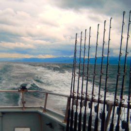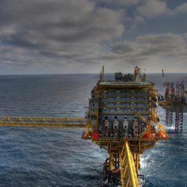
This is what we see from the beach. Beautiful water and white sand. We frolic and play not knowing of the dead zone further out beyond our view.
This summer’s low-oxygen dead zone in the Gulf of Mexico along the Louisiana coast covered 6,334 square miles – 10 times the size of Lake Pontchartrain and well above the average size for the past five years, researchers said Tuesday. It encompasses a huge area of Gulf bottom waters that contains fewer than 2 parts per million of oxygen, a condition called hypoxia. Insufficient oxygen kills bottom-living organisms that form the base of the Gulf food chain, and it forces fish, crabs and shrimp to flee, often disrupting or driving up expenses for commercial fishers.
nola.com

PHOTO FROM LOUISIANA UNIVERSITIES MARINE CONSORTIUM
What causes the dead zone? Can we do anything about it or is it natures way of saying something is wrong?
Scientists blame the dead zone on nutrient-rich freshwater that flows to the Gulf of Mexico through the Mississippi River’s vast watershed, which includes parts of 32 states and two Canadian provinces. Freshwater exiting the Mississippi and Atchafalaya rivers creates a layer atop salty Gulf waters until it’s mixed by tropical storms in the summer or frontal systems in the fall. The nutrients – including nitrogen and phosphorus from Midwest agriculture and from sewage – act as food for huge blooms of algae that grow in surface waters. The algae eventually dies and sinks to the bottom, where it is decomposed by microbes, using up oxygen in the saltier, deeper water layer.

Was this an unusually bad year for agriculture run off?
This year, a lack of tropical storms, combined with winds mostly out of the south and a likely flow of water out of the mouth of the Mississippi River to the east, resulted in Gulf water containing the least oxygen collecting closer to the shoreline, especially to the west of the Atchafalaya Delta, said Nancy Rabalais, a marine biologist at Louisiana State University and the Louisiana Universities Marine Consortium. Rabalais is the lead investigator for the annual cruise that measures oxygen content of coastal waters. The hypoxia area this year was equal in area to the combined size of lakes Ontario and Erie. It was three times the size of last year’s dead zone, which was kept small by the winds and waves of Hurricane Hanna, and was the 16th largest measured during 35 years of coastal cruises. Including 2021, the five-year average size of the dead zone is 5,380 square miles – 2.8 times larger than the goal set by a federal-state Hypoxia Task Force. That group is trying to reduce the size of the dead zone to a five-year average of 1,930 square miles by 2035.

As the problem starts in the agriculture mid-west, they are also involved in a fix.
Iowa Agriculture Secretary Mike Naig, co-chair of the task force, praised U.S. Department of Agriculture grant programs for helping Midwest farmers reduce the flow of fertilizers from their lands. One program aims to develop wetlands to capture more nutrients in Iowa, and another helped plant a record 1.5 million acres of “cover crops” in Indiana to reduce the movement of nutrients into groundwater. Doug Daigle, director of the Lower Mississippi River Sub-basin Committee on Hypoxia, said this year’s increased hypoxia levels west of the Atchafalaya are a reminder that the river also drains northeast Louisiana, via its connection to the Black, Ouachita and Tensas rivers and their tributaries. “Those basins are areas where Louisiana has been doing conservation and agricultural management work to reduce nutrient loads, which have a fairly straight route to the Gulf through the Atchafalaya,” he said. Reducing nutrient runoff in those areas will also be critical in reaching the task force’s nutrient reduction goals, he said.
These efforts have not been enough to reduce the size of the dead zone.
Those efforts have not been enough during the past five years to make significant reductions in the size of the average dead zone. Indeed, the size reduction goal set by the task force has been delayed: In 2008, the task force said it would be met by 2015 and i n 2016, the task force pushed back the date to 2035 but added a provision calling for a 20% reduction in nitrogen and phosphorus in the river by 2025. One reason for the setbacks might be the effects of global warming on rainfall in the Mississippi River basin, said Radhika Fox, the U.S. Environmental Protection Agency’s assistant administrator for water. “Climate is directly linked to water, including the flow of nutrient pollution into the Gulf of Mexico,” she said. “As we work to address the Gulf of Mexico hypoxic zone, we must consider climate change and we must strengthen our collaboration and partnerships to make needed progress.”
What was found on the last scientific cruise?
The two-week scientific research cruise in the dead zone found more hypoxic water than predicted in May by federal and state researchers; they had estimated the dead zone at only 4,880 square miles, based on spring flow rates of the Mississippi and Atchafalaya rivers and expected reductions in the amounts of nutrients entering the water from agriculture and wastewater treatment sites in the Mississippi River watershed.
Not good, but on the bright side not something that hurts the tourist industry. It effect on fishermen may be there but I am sure their guides know where not to go. So a perpetual problem that we need a solution to.


