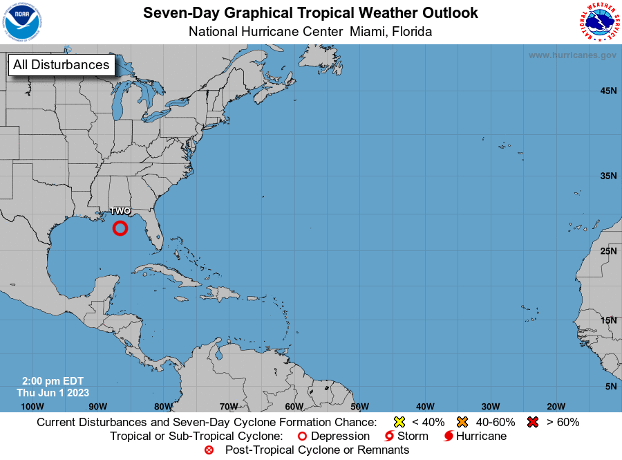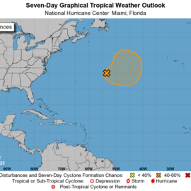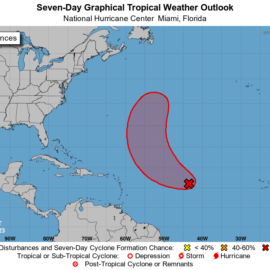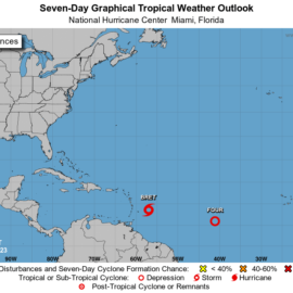
The disturbance has formed up and is now a depression that is not supposed to be long lived or grow much bigger.
Tropical Weather Outlook
NWS National Hurricane Center Miami FL
200 PM EDT Thu Jun 1 2023

For the North Atlantic...Caribbean Sea and the Gulf of Mexico:

1. Northeastern Gulf of Mexico (AL91):
Recent satellite wind data, along with buoy and ship observations
indicate the area of low pressure over the northeastern Gulf of
Mexico has a broad but well-defined circulation with maximum
sustained winds of about 35 mph. Shower and thunderstorm activity
associated with the low is also showing signs of organization.
Environmental conditions remain marginally favorable for additional
development, and if these trends continue, a short-lived tropical
depression or storm is likely to form as soon as this afternoon. The
system is likely to meander over the northeastern Gulf of Mexico
through tonight but begin a slow southward motion on Friday. By
this weekend, environmental conditions are forecast to become
unfavorable for additional development as the system continues
moving southward, likely remaining offshore over the Gulf of Mexico.
An Air Force Reserve Hurricane Hunter aircraft is scheduled to
investigate the system later this afternoon.

Regardless of development, locally heavy rainfall could occur over
portions of the Florida Peninsula through this weekend. Additional
information on the rainfall and flooding potential can be found in
products issued by your local National Weather Service forecast
office and Excessive Rainfall Outlooks issued by the Weather
Prediction Center.
* Formation chance through 48 hours...high...70 percent.
* Formation chance through 7 days...high...70 percent.
nhc.noaa.gov
Welcome to this hurricane season. One of the gifted articles said with the warm weather and warm water already who knows.
Update to Hurricane season 2023 – 01 June 2023


