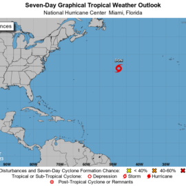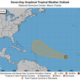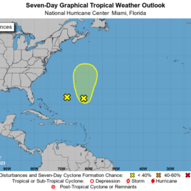
Same as yesterday with the only thing firmly on the other side of the Atlantic.
Tropical Weather Outlook
NWS National Hurricane Center Miami FL
800 AM EDT Wed Jun 7 2023

For the North Atlantic...Caribbean Sea and the Gulf of Mexico:

1. Northeastern Atlantic Ocean:
A non-tropical area of low pressure located midway between the
eastern Azores and Madeira Island is producing limited showers
and thunderstorms with winds to near gale force over the
northeastern Atlantic Ocean.  This system is forecast to turn
northeastward later today and move over cooler waters, and further
development is not anticipated.  Periods of heavy rains and gusty
winds will continue, however, across portions of the Canary
Islands and Madeira Island over the next day or so.  For additional
information on this system, see products issued by the State
Meteorological Agency of Spain, the Portuguese Institute of
the Sea and Atmosphere, and High Seas Forecasts issued by Meteo
France.
* Formation chance through 48 hours...low...near 0 percent.
* Formation chance through 7 days...low...near 0 percent.

High Seas Forecasts issued by Meteo France under WMO header FQNT50
LFPW and available on the web at
www.meteofrance.com/previsions-meteo-marine/bulletin/grandlarge/
metarea2.  Products issued by State Meteorological Agency of Spain
are available on the web at
https://www.aemet.es/en/eltiempo/prediccion/avisos, and products
issued by the Portuguese Institute of the Sea and Atmosphere are
available at https://ipma.pt/en.
Enjoy today!
Hurricane Season 2023 – 07 June 2023


