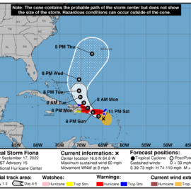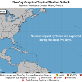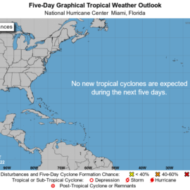
(Image via National Hurricane Center)
It looks like we may feel the outside effect of a hurricane due to swing north toward the Panhandle of Florida.
A tropical depression formed in the Caribbean Sea and is expected to become Hurricane Hermine on its way to the Gulf of Mexico, hurricane forecasters said early Friday. The storm is expected to hit Jamaica and Cuba before turning east toward Florida, according to the current 5-day track from the National Hurricane Center. As of 4 a.m. Friday, the depression was 615 miles southeast of Kingston, Jamaica, and was moving northwest at 13 mph. It has winds of 35 mph and is expected to strengthen into a Tropical Storm Hermine later in the day.
nola.com

5 systems in the tropics
Hurricane forecasters on Friday are tracking five systems in the Atlantic and Caribbean: Disturbance in Caribbean, Hurricane Fiona, Tropical Storm Gaston, Disturbance off the coast of Africa and Disturbance in the Atlantic. Hurricane Fiona, Tropical Storm Gaston and the other systems in the Atlantic don’t pose a threat to Louisiana. The next storm names are Hermine, Ian and Julia if any of the disturbances strengthen into a tropical storm.

(satellite image via NOAA)
Depression in the Caribbean
The ninth tropical depression of the season formed Friday in the Caribbean. It’s expected to bring rain to the islands as it heads to the Gulf of Mexico. Jamaica could get up to 12 inches, which may lead to flash flooding and mudslides.
So, of the 5 we need to look at one. After hitting Cuba it is due to swing east and head north. This is where we need to look for even slight changes in the track. Will it heat west closer to us or east and deeper into Florida. We won’t know until early to mid week.


