(Satellite image via NOAA)
Tropical Storm Karl is dud to hit Mexico today and we may get some rain.
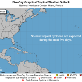
Tropical Storm Karl is strengthening in the Gulf of Mexico ahead of its anticipated landfall in southern Mexico, hurricane forecasters said Wednesday. Karl does not pose a threat to Louisiana, forecasters at the National Weather Service in Slidell said, but it could mean rain for south Louisiana on Wednesday. It’s good news because about 90% of the state is either abnormally dry or in a moderate drought. The heaviest rain from Karl is expected to fall in Mexico. No other systems are expected to develop in the Atlantic or the Caribbean within 48 hours. Here’s what we know from hurricane forecasters as of 7 a.m. Wednesday.
nola.com

Tropical Storm Karl
Tropical Storm Karl has begun strengthening in the Gulf as it moves slowly northwest, forecasters said. As of 7 a.m., it was about 170 miles northeast of Tuxpan, Mexico, and about 185 miles northeast of Veracruz, Mexico. It has winds of 45 mph and additional strengthening is expected for the next day or so. Gradual weakening is expected Thursday. It’s moving northwest at 6 mph and is expected to turn southwest by Thursday morning. On the forecast track, Karl will approach the coast of Mexico by Thursday night. It’s expected to bring up to 12 inches of rain along with life-threatening rip currents to parts of Mexico.
There is nothing else on the radar and I do hope for some rain!


