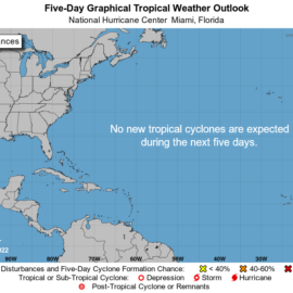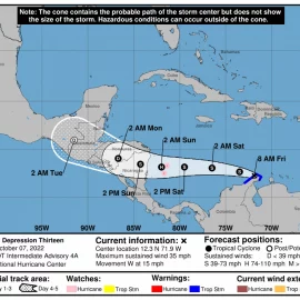
NOLA.COM has not put one out today. The disturbance in the Atlantic is dying off and will not do much. The one in the Caribbean is forming up and looks like it will be a tropical disturbance in a few days.
In the Atlantic thunderstorm activity has decreased. It is also merging with a frontal system and the chance of forming something on its own is remote. In the Caribbean there is a different story. The circulation is becoming better defined and showers and thunderstorms are becoming more frequent. It has a 90% chance of forming in both the 2 and 5 day arena.
This is a system to watch and I think there will be a better report tomorrow.
Hurricane update for 30 October


